
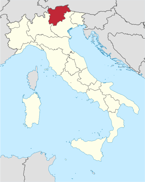
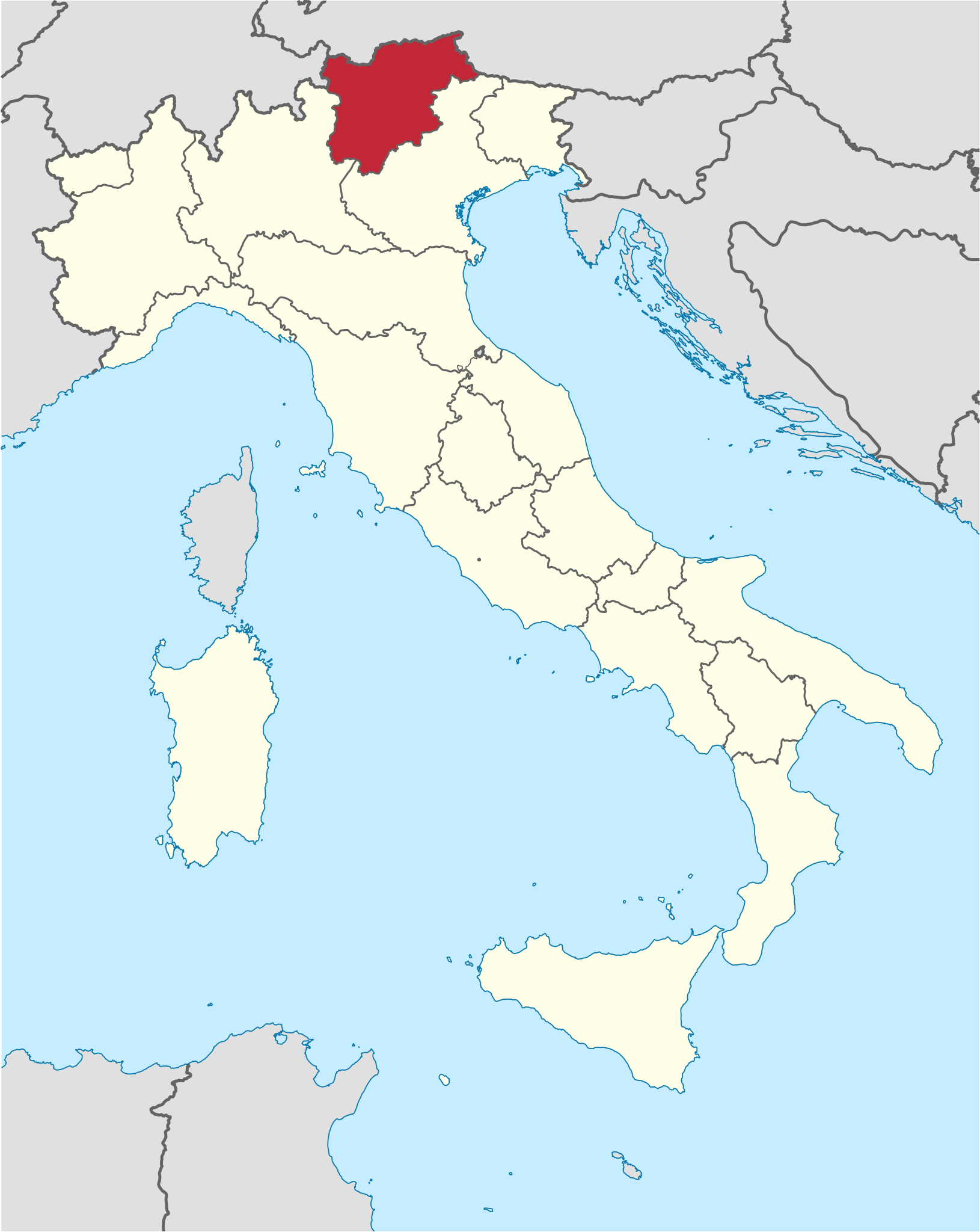
File:Trentino-Alto Adige in Italy.svg

Dimension de iste previsualisation PNG de iste file SVG: 477 × 599 pixels. Altere resolutiones: 191 × 240 pixels | 382 × 480 pixels | 611 × 768 pixels | 815 × 1 024 pixels | 1 630 × 2 048 pixels | 1 034 × 1 299 pixels.
File original (File SVG, dimensiones nominal: 1 034 × 1 299 pixels, grandor del file: 1,67 MB)
Summario
.svg)
.svg)
.svg)
.svg)
.svg)
.svg)
.svg)

-en.svg)

.svg)
.svg)
.svg)

_(US48).svg)
_(small_islands_magnified)_(-mini_map_-rivers).svg)
.svg)
_(extra_close)_(US48).svg)
.svg)
_(zoom).svg)

.svg)


_(UNMIK).svg)
.svg)
_(disputed_hatched).svg)
_(claimed_and_disputed_hatched).svg)
.svg)
.svg)
_(%2Ball_claims_hatched).svg)

.svg)
_(shade).svg)
_(shade)_(special_marker).svg)
_(-mini_map).svg)
_(-mini_map).svg)
_(-mini_map).svg)


.svg)

.svg)

Licentia
Io, titular del derecto de autor sur iste obra, declara de publicar lo sub le sequente licentias:

|
Le permission es concedite de copiar, distribuer e/o modificar iste documento sub le conditiones del Licentia GNU pro Documentation Libere, Version 1.2 o omne version plus recente publicate per le Fundation pro Software Libere; sin Sectiones Invariabile, sin Textos de Copertura Frontal e sin Textos de Copertura Posterior. Un copia del licentia es includite in le section titulate Licentia GNU pro Documentation Libere. |
Iste file es disponibile sub le licentia Creative Commons Attribution-CompartiSimile 3.0 Non-localisate.
- Tu es libere:
- de condivider – de copiar, distribuer e transmitter le obra
- de remixar – de adaptar le obra
- Sub le sequente conditiones:
- attribution – Tu debe dar information appropriate sur le autor, fornir un ligamine al licentia, e indicar si modificationes ha essite apportate. Tu pote facer lo de qualcunque maniera rationabile, ma non in alcun modo que suggere que le licentiator approba te o tu uso del obra.
- condivider equalmente – Si tu altera, transforma o disveloppa le material, tu debe distribuer tu contributiones sub un licentia identic o compatibile con le original.
Tu pote seliger le licentia de tu preferentia.

|
I'd greatly appreciate, that you attribute this media file to Wikimedia Commons, if used outside Wikipedia or Commons. For use in publications such as books, newspapers, blogs, websites, please insert here the following line:
|
Historia del file
Clicca sur un data/hora pro vider le file como appareva a ille tempore.
| Data/Hora | Miniatura | Dimensiones | Usator | Commento | |
|---|---|---|---|---|---|
| actual | 18:07, 17 junio 2011 | | 1 034 × 1 299 (1,67 MB) | Foroa | Reverted to version as of 13:40, 17 June 2011 |
| 17:49, 17 junio 2011 |  | 1 034 × 1 299 (1,68 MB) | Gryffindor | Reverted to version as of 12:50, 17 June 2011 | |
| 13:40, 17 junio 2011 |  | 1 034 × 1 299 (1,67 MB) | TUBS | rv: [http://commons.wikimedia.org/wiki/User_talk:Gryffindor#File:Trentino-Alto_Adige_in_Italy.svg] | |
| 12:50, 17 junio 2011 |  | 1 034 × 1 299 (1,68 MB) | Gryffindor | Reverted to version as of 23:28, 15 June 2011 the depiction of the provinces is in order as they are de-facto regions | |
| 06:21, 16 junio 2011 |  | 1 034 × 1 299 (1,67 MB) | TUBS | Reverted to version as of 06:49, 14 June 2011. Please save as a new file. Borders shouldn't differ in that map series | |
| 23:28, 15 junio 2011 |  | 1 034 × 1 299 (1,68 MB) | Gryffindor | Reverted to version as of 20:15, 13 June 2011 both are autonomous provinces in an autonomous region, others do not have that | |
| 06:49, 14 junio 2011 |  | 1 034 × 1 299 (1,67 MB) | TUBS | Reverted to version as of 12:27, 7 March 2011: please give new filename and move to new category. doesn't make sense: other province borders aren' shown either | |
| 20:15, 13 junio 2011 |  | 1 034 × 1 299 (1,68 MB) | Kmusser | add province boundary | |
| 12:27, 7 martio 2011 |  | 1 034 × 1 299 (1,67 MB) | TUBS |
Uso de iste file
Le sequente pagina usa iste file:
Uso global de iste file
Le altere wikis sequente usa iste imagine:
- Uso in als.wikipedia.org
- Uso in ar.wikipedia.org
- Uso in ast.wikipedia.org
- Uso in az.wikipedia.org
- Uso in bcl.wikipedia.org
- Uso in bg.wikipedia.org
- Uso in ca.wikipedia.org
- Uso in ceb.wikipedia.org
- Uso in co.wikipedia.org
- Uso in crh.wikipedia.org
- Uso in cs.wikipedia.org
- Uso in cy.wikipedia.org
- Uso in de.wikipedia.org
- Uso in de.wikivoyage.org
- Uso in diq.wikipedia.org
- Uso in el.wikipedia.org
- Uso in en.wikipedia.org
- Uso in eo.wikivoyage.org
- Uso in fi.wikipedia.org
- Uso in frr.wikipedia.org
- Uso in fr.wikipedia.org
- Uso in fr.wiktionary.org
- Uso in ga.wikipedia.org
- Uso in gd.wikipedia.org
- Uso in gl.wikipedia.org
- Uso in id.wikipedia.org
- Uso in incubator.wikimedia.org
- Uso in it.wikipedia.org
- Uso in it.wikivoyage.org
- Uso in jam.wikipedia.org
- Uso in kab.wikipedia.org
- Uso in ko.wikipedia.org
- Uso in la.wikipedia.org
- Uso in lb.wikipedia.org
- Uso in lij.wikipedia.org
- Uso in lld.wikipedia.org
- Uso in lmo.wikipedia.org
- Uso in lv.wikipedia.org
Vider altere usos global de iste file.