
File:Pacific Ocean laea location map.svg

Dimension de iste previsualisation PNG de iste file SVG: 659 × 600 pixels. Altere resolutiones: 264 × 240 pixels | 528 × 480 pixels | 844 × 768 pixels | 1 126 × 1 024 pixels | 2 251 × 2 048 pixels | 709 × 645 pixels.
File original (File SVG, dimensiones nominal: 709 × 645 pixels, grandor del file: 217 KB)
Agemaps.com
Summario
| Description |
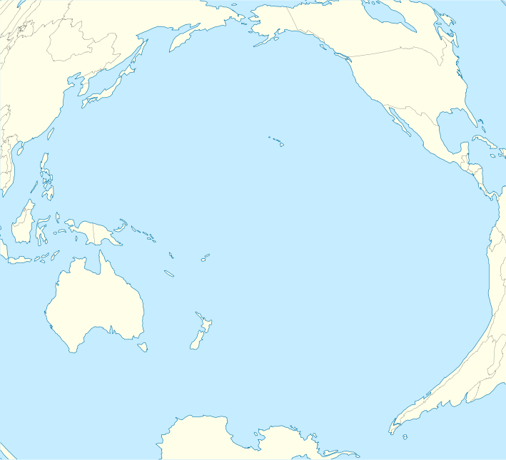
English: Location map of Pacific Ocean.
|
| Data | |
| Origine | Obra proprie |
| Autor | Tentotwo |
Shell script for generating the map using GMT archive copy at the Wayback Machine
#!/bin/sh

# Set common options
PROJECTION=A-165.0/-10.0/180/19.998266666666666c
REGION=-320.2519138145009/-12.459450078533589/-5.473602099069988/26.40516525873812r
FILENAME=Pacific_Ocean_laea_location_map.ps

# Get Natural Earth datafiles
echo "Downloading datafiles from naturalearthdata.com"
wget -nv -nc \
 http://www.naturalearthdata.com/http//www.naturalearthdata.com/download/110m/physical/110m-coastline.zip\
 http://www.naturalearthdata.com/http//www.naturalearthdata.com/download/110m/physical/110m-land.zip\
 http://www.naturalearthdata.com/http//www.naturalearthdata.com/download/110m/cultural/110m-admin-0-boundary-lines.zip
echo "...done\n"

echo "Inflating archives"
unzip 110m\*.zip
echo "...done\n"

echo "Converting shapefiles to GMT"
ogr2ogr -F GMT 110m_land.gmt 110m_land.shp
ogr2ogr -F GMT 110m_coastline.gmt 110m_coastline.shp
ogr2ogr -F GMT 50m_borders.gmt ne_50m_admin_0_boundary_lines_land.shp
echo "...done\n"

echo "Creating maps"
GMT psxy -m -J$PROJECTION -R$REGION --PAGE_COLOR=198/236/255  --POLAR_CAP=none --PAPER_MEDIA=A3  --BASEMAP_TYPE=plain --BASEMAP_AXES=NESW --FRAME_PEN=0.15p,black 110m_land.gmt -K -G254/254/233 > $FILENAME
GMT psxy -m -J$PROJECTION -R$REGION 110m_coastline.gmt -O -K -W0.535p,9/120/171  >> $FILENAME
GMT psxy -m -J$PROJECTION -R$REGION 50m_borders.gmt -O -W100/100/100  >> $FILENAME
echo "...done\n"

echo "You can now open $FILENAME in Inkscape to clean up the file and save it as SVG. You should add an ocean coloured background and simplify the graticules using CTRL+L."

gv $FILENAME
Licentia
Io, titular del derecto de autor sur iste obra, declara de publicar lo sub le sequente licentia:
Iste file es disponibile sub le licentia Creative Commons Attribution-CompartiSimile 3.0 Non-localisate.
- Tu es libere:
- de condivider – de copiar, distribuer e transmitter le obra
- de remixar – de adaptar le obra
- Sub le sequente conditiones:
- attribution – Tu debe dar information appropriate sur le autor, fornir un ligamine al licentia, e indicar si modificationes ha essite apportate. Tu pote facer lo de qualcunque maniera rationabile, ma non in alcun modo que suggere que le licentiator approba te o tu uso del obra.
- condivider equalmente – Si tu altera, transforma o disveloppa le material, tu debe distribuer tu contributiones sub un licentia identic o compatibile con le original.
Historia del file
Clicca sur un data/hora pro vider le file como appareva a ille tempore.
| Data/Hora | Miniatura | Dimensiones | Usator | Commento | |
|---|---|---|---|---|---|
| actual | 10:51, 1 februario 2012 | | 709 × 645 (217 KB) | Tentotwo | Fixed missing colour in Asia |
| 10:00, 1 februario 2012 |  | 709 × 645 (235 KB) | Tentotwo |
Uso de iste file
Le sequente pagina usa iste file:
Uso global de iste file
Le altere wikis sequente usa iste imagine:
- Uso in af.wikipedia.org
- Uso in an.wikipedia.org
- Uso in ar.wikipedia.org
- Uso in ast.wikipedia.org
- Micronesia
- Archipiélagu de Ḥawai
- Islla Clipperton
- Puntu caliente de Galápagos
- Islles Marqueses
- Oahu
- Fatu Hiva
- Islla Campbell
- Atafu
- Islles Carolines
- Islla de Pascua
- Fuexa de les Marianes
- Islles Marianes
- Reserva marina de Galápagos
- Observatorios de Mauna Kea
- Islles Spratly
- Islles Auckland
- Islles Campbell
- Islles Antípodes
- Pearl Harbor
- Raiatea
- Islles Chatham
- Kilauea
- Tinian
- Aeropuertu Seymour
- Aeropuertu de Palmyra
- Aeropuertu de San Cristóbal
- Aeropuertu del Atolón Johnston
- Totegegie
- Wheeler Army Airfield
- Hanga Roa
- Waitangi
- Islles Maug
- Agrihan
- Islla Rota
- Islla de Pagán
- Guguan
- Alamagan
- Módulu:Mapa de llocalización/datos/Océanu Pacíficu/usu
Vider altere usos global de iste file.