
File:Mexico (orthographic projection).svg

Dimension de iste previsualisation PNG de iste file SVG: 550 × 550 pixels. Altere resolutiones: 240 × 240 pixels | 480 × 480 pixels | 768 × 768 pixels | 1 024 × 1 024 pixels | 2 048 × 2 048 pixels.
File original (File SVG, dimensiones nominal: 550 × 550 pixels, grandor del file: 376 KB)
Summario
| Description |
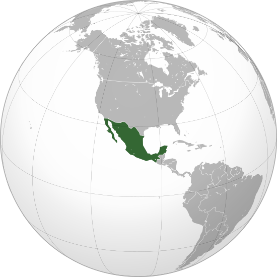
English: Mexico |
||||
| Data | |||||
| Origine |
Obra proprie (Original text: Own work,)
|
||||
| Autor | Ssolbergj | ||||
| Altere versiones |
Derivative works of this file: Map ITESM campuses by city.svg .svg)
|
||||
| SVG genesis |

.svg)
.svg)
.svg)
.svg)
.svg)
.svg)
.svg)
.svg)
.svg)
.svg)
.svg)
.svg)
.svg)
.svg)
.svg)
.svg)
.svg)
.svg)
.svg)
.svg)
.svg)
.svg)
.svg)
.svg)
.svg)
.svg)
.svg)
.svg)
.svg)
.svg)
.svg)
.svg)
.svg)
.svg)
.svg)
.svg)
.svg)
.svg)
.svg)
.svg)
.svg)
.svg)
.svg)
.svg)
.svg)
.svg)
.svg)
.svg)
.svg)
.svg)
.svg)
.svg)
.svg)
.svg)
.svg)
.svg)
.svg)
.svg)
.svg)
.svg)
.svg)
.svg)
.svg)
.svg)
.svg)
.svg)
.svg)
.svg)
.svg)
.svg)
.svg)
.svg)
.svg)

.svg)

.svg)

.svg)
.svg)
.svg)
.svg)
.svg)
.svg)
.svg)


.svg)
.svg)
.svg)
.svg)
.svg)
.svg)
.svg)

.svg)
.svg)
.svg)
.svg)
.svg)
.svg)
.svg)
.svg)
.svg)

.svg)
.svg)
.svg)
.svg)
.svg)
.svg)
.svg)
_without_national_boundaries.svg)
.svg)
.svg)
.svg)
.svg)
.svg)
.svg)

.svg)
.svg)
.png)
.svg)
.svg)
.svg)
.svg)

.svg)
.svg)
.svg)
.svg)
.svg)
.svg)
.svg)
.svg)
.svg)
.svg)
.svg)

.svg)
.svg)
.svg)
.svg)
.svg)
.svg)
.svg)
.svg)
.svg)

.svg)
.svg)

.svg)
.svg)
.svg)
.svg)
.svg)
.svg)
.svg)
.svg)
.svg)
.svg)
.svg)
.svg)
.svg)
.svg)
.svg)
.svg)
.svg)
.svg)
.svg)
.svg)
.svg)
.svg)
.svg)
.svg)
.svg)
.svg)
.svg)
_-_Crimea_disputed.svg)
.svg)
.svg)
.svg)
.svg)
.svg)
.svg)
.svg)
.svg)
.svg)
.svg)
.svg)
_political.svg)
.svg)
.svg)
.svg)
.svg)
_-_Crimea_disputed_-_no_borders.svg)
.svg)
.svg)
.svg)
.svg)
.svg)
.svg)
.svg)
.svg)
.svg)
.svg)
.svg)

.svg)
.svg)
.svg)

.png)
.svg)
.svg)
.svg)
.svg)
.svg)
.svg)
.svg)
.svg)
.svg)
.svg)
.svg)
.svg)
.svg)
.svg)
.svg)
.svg)
.svg)
.svg)
.svg)
.svg)
.svg)
.svg)
.svg)
.svg)
.svg)
.svg)
.svg)
.svg)
.svg)
.svg)
.svg)
.svg)
.svg)
.svg)
.png)
.svg)
.svg)
.svg)
_(orthographic_projection).png)
.svg)
.svg)
.svg)
Licentia
Io, titular del derecto de autor sur iste obra, declara de publicar lo sub le sequente licentia:
Iste file es disponibile sub le licentia Creative Commons Attribution 3.0 Unported.
- Tu es libere:
- de condivider – de copiar, distribuer e transmitter le obra
- de remixar – de adaptar le obra
- Sub le sequente conditiones:
- attribution – Tu debe dar information appropriate sur le autor, fornir un ligamine al licentia, e indicar si modificationes ha essite apportate. Tu pote facer lo de qualcunque maniera rationabile, ma non in alcun modo que suggere que le licentiator approba te o tu uso del obra.
Historia del file
Clicca sur un data/hora pro vider le file como appareva a ille tempore.
| Data/Hora | Miniatura | Dimensiones | Usator | Commento | |
|---|---|---|---|---|---|
| actual | 23:20, 18 decembre 2009 | | 550 × 550 (376 KB) | Keepscases | Margins |
| 21:06, 21 octobre 2008 |  | 541 × 541 (376 KB) | Ssolbergj | {{Information |Description={{en|1=aefv}} |Source=eav |Author=aedfv |Date=aerv |Permission=eaw |other_versions=ear }} werv <!--{{ImageUpload|full}}--> Category:Maps of Mexico |
Uso de iste file
Le sequente pagina usa iste file:
Uso global de iste file
Le altere wikis sequente usa iste imagine:
- Uso in ady.wikipedia.org
- Uso in af.wikipedia.org
- Uso in alt.wikipedia.org
- Uso in ar.wikipedia.org
- Uso in arz.wikipedia.org
- Uso in as.wikipedia.org
- Uso in az.wiktionary.org
- Uso in ba.wikipedia.org
- Uso in be.wikipedia.org
- Uso in bg.wikipedia.org
- Uso in bm.wikipedia.org
- Uso in bn.wikipedia.org
- Uso in bxr.wikipedia.org
- Uso in ca.wikipedia.org
- Uso in ca.wikinews.org
- Uso in ceb.wikipedia.org
- Uso in ckb.wikipedia.org
- Uso in crh.wikipedia.org
- Uso in cs.wikipedia.org
- Uso in cs.wikiquote.org
- Uso in da.wikipedia.org
- Uso in de.wikipedia.org
- Uso in en.wikipedia.org
- List of sovereign states and dependent territories in North America
- Wikipedia:Userboxes/Location/Mexico
- Outline of Mexico
- Talk:European Union/Archive 22
- Mexico–Yugoslavia relations
- Template:User United Mexican States
- User:Wexeb
- User:Wexeb/Userboxes
- User:Chanterele
- User:De leeuw blauw
- User:AlexR.L.
- User:Sagleranorto/Jordglobskartor
- User:Gossip-Girlxox
- User:Alfonsobouchot
- User:Emilianogarciag
- User:Kusagami142
- User:Googolplanck
- User:Maquedasahag
- List of butterflies of Mexico
- User:SubSevenMoRpHeEuS
Vider altere usos global de iste file.
.svg)
.svg)