
File:Manchester UK locator map.svg

Dimension de iste previsualisation PNG de iste file SVG: 800 × 557 pixels. Altere resolutiones: 320 × 223 pixels | 640 × 446 pixels | 1 024 × 714 pixels | 1 280 × 892 pixels | 2 560 × 1 784 pixels | 1 425 × 993 pixels.
File original (File SVG, dimensiones nominal: 1 425 × 993 pixels, grandor del file: 860 KB)
| Description |
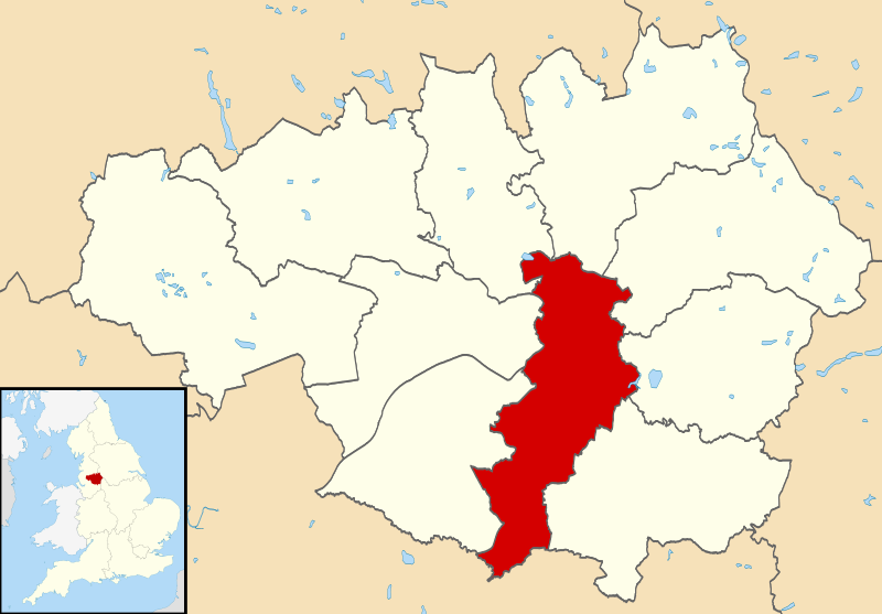
Map of Greater Manchester, UK with Manchester highlighted. Equirectangular map projection on WGS 84 datum, with N/S stretched 165% |
| Data | |
| Origine |
|
| Autor | Nilfanion, created using Ordnance Survey data |
| Permission (Reuso de iste file) |
Iste file es disponibile sub le licentia Creative Commons Attribution-CompartiSimile 3.0 Non-localisate. Attribution: Contains Ordnance Survey data © Crown copyright and database right
|
Historia del file
Clicca sur un data/hora pro vider le file como appareva a ille tempore.
| Data/Hora | Miniatura | Dimensiones | Usator | Commento | |
|---|---|---|---|---|---|
| actual | 09:44, 14 april 2011 | | 1 425 × 993 (860 KB) | Nilfanion | {{Information |Description=Map of Greater Manchester, UK with Manchester highlighted. Equirectangular map projection on WGS 84 datum, with N/S stretched 165% |Source=Ordnance Survey [https:/ |
Uso de iste file
Le sequente pagina usa iste file:
Uso global de iste file
Le altere wikis sequente usa iste imagine:
- Uso in ar.wikipedia.org
- Uso in arz.wikipedia.org
- Uso in ast.wikipedia.org
- Uso in azb.wikipedia.org
- Uso in bn.wikipedia.org
- Uso in ca.wikipedia.org
- Uso in cs.wikipedia.org
- Uso in cy.wikipedia.org
- Uso in diq.wikipedia.org
- Uso in el.wikipedia.org
- Uso in en.wikipedia.org
- Uso in en.wikivoyage.org
- Uso in eo.wikinews.org
- Uso in eu.wikipedia.org
- Uso in fa.wikipedia.org
- Uso in fi.wikipedia.org
- Uso in fr.wikipedia.org
- Uso in ga.wikipedia.org
- Uso in gl.wikipedia.org
- Uso in ha.wikipedia.org
- Uso in hi.wikipedia.org
- Uso in id.wikipedia.org
- Uso in ie.wikipedia.org
- Uso in incubator.wikimedia.org
- Uso in ja.wikipedia.org
- Uso in kab.wikipedia.org
- Uso in ko.wikipedia.org
- Uso in la.wikipedia.org
- Uso in ml.wikipedia.org
- Uso in mn.wikipedia.org
- Uso in mr.wikipedia.org
- Uso in mzn.wikipedia.org
- Uso in ne.wikipedia.org
- Uso in oc.wikipedia.org
- Uso in ps.wikipedia.org
- Uso in sco.wikipedia.org
- Uso in simple.wikipedia.org
- Uso in sv.wikipedia.org
- Uso in th.wikipedia.org
- Uso in ur.wikipedia.org
- Uso in vi.wikipedia.org
- Uso in vo.wikipedia.org
- Uso in www.wikidata.org
Vider altere usos global de iste file.