
File:English Channel location map.svg

File original (File SVG, dimensiones nominal: 955 × 665 pixels, grandor del file: 178 KB)
Summario
| Description |
Deutsch: Positionskarte der Ärmelkanals
Quadratische Plattkarte, N-S-Streckung 155 %. Geographische Begrenzung der Karte:
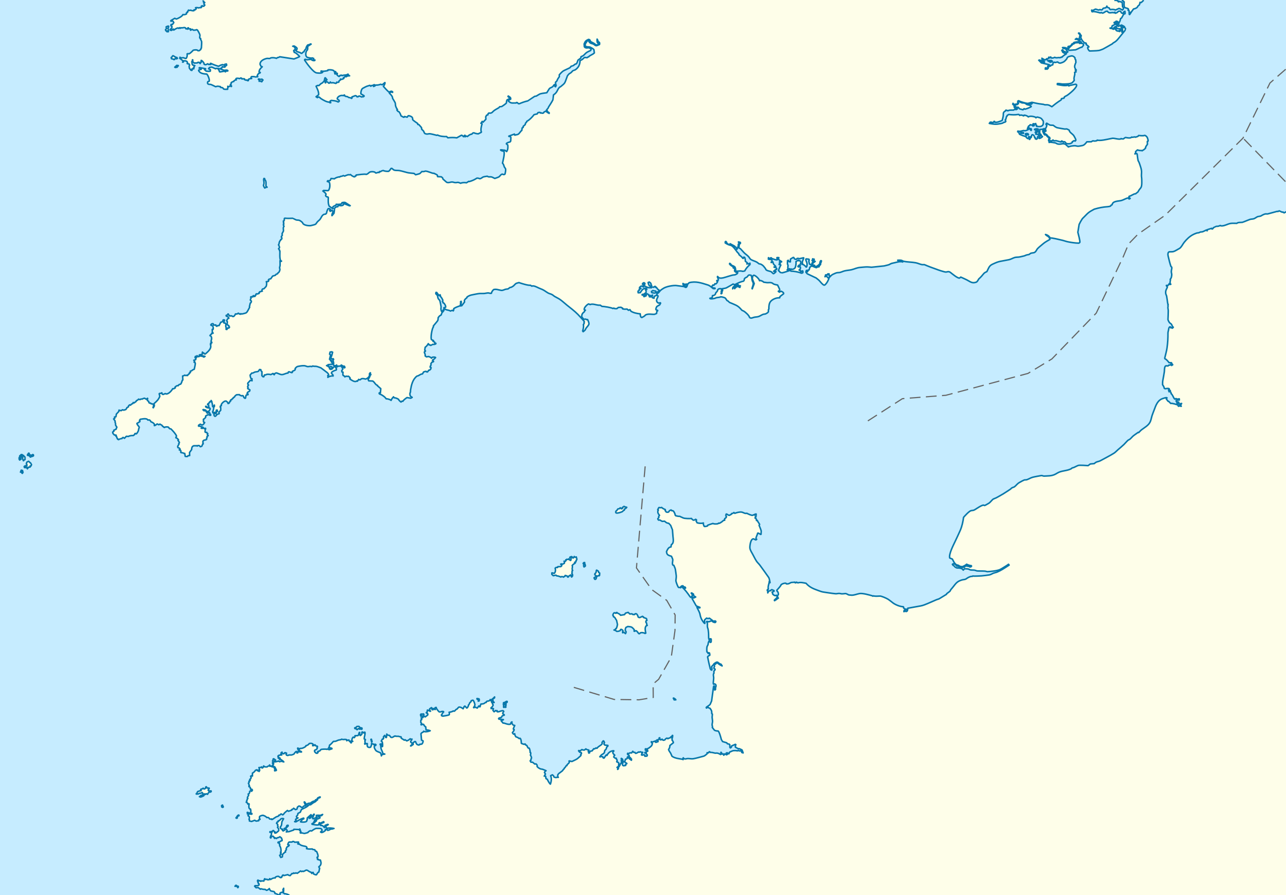
English: Location map of the English Channel
Equirectangular projection, N/S stretching 155 %. Geographic limits of the map:
|
|
| Data | ||
| Origine | own work, using United States National Imagery and Mapping Agency data | |
| Autor | NordNordWest | |
| Permission (Reuso de iste file) |
Iste file es disponibile sub le licentia Creative Commons Attribution-CompartiSimile 3.0 Germania.
 Iste file es disponibile sub le licentia Creative Commons Attribution-CompartiSimile 3.0 Non-localisate.
|
|
| Altere versiones | Derivative works of this file: Condor ferries route map.svg |


|
This map has been made or improved in the German Kartenwerkstatt (Map Lab). You can propose maps to improve as well.
|
Historia del file
Clicca sur un data/hora pro vider le file como appareva a ille tempore.
| Data/Hora | Miniatura | Dimensiones | Usator | Commento | |
|---|---|---|---|---|---|
| actual | 16:55, 1 octobre 2010 | | 955 × 665 (178 KB) | NordNordWest | upd |
| 19:07, 28 septembre 2010 |  | 955 × 665 (178 KB) | NordNordWest | == {{int:filedesc}} == {{Information |Description= {{de|Positionskarte der Ärmelkanals}} Quadratische Plattkarte, N-S-Streckung 155 %. Geographische Begrenzung der Karte: * N: 52.0° N * S: 48.0° N * W: 6.5° W * O: 2.4° O {{en|Loca |
Uso de iste file
Le sequente pagina usa iste file:
Uso global de iste file
Le altere wikis sequente usa iste imagine:
- Uso in an.wikipedia.org
- Uso in ar.wikipedia.org
- Uso in az.wikipedia.org
- Uso in ba.wikipedia.org
- Uso in bn.wikipedia.org
- Uso in ceb.wikipedia.org
- Uso in ce.wikipedia.org
- Uso in cs.wikipedia.org
- Uso in de.wikipedia.org
- Uso in de.wikivoyage.org
- Uso in en.wikipedia.org
- Guernsey
- Sark
- Alderney
- Bailiwick of Guernsey
- Operation Biting
- Battle of Dover Strait (1917)
- Operation Jericho
- Bugaled Breizh
- Module:Location map/data/United Kingdom Channel Islands/doc
- White House (Herm)
- La Sablonnerie
- Armin Faber
- User:Keith-264/sandbox5
- Module:Location map/data/English Channel
- Template:Bailiwick of Guernsey location map
- Template:Bailiwick of Guernsey location map/doc
- Module:Location map/data/United Kingdom Channel Islands
- English Channel migrant crossings (2018–present)
- 2019 English Channel Piper PA-46 crash
- Jersey Bulls F.C.
- Wikipedia talk:WikiProject Military history/Archive 155
- Module:Location map/data/English Channel/doc
- Uso in es.wikipedia.org
- Uso in fa.wikipedia.org
Vider altere usos global de iste file.