
File:Denmark location map.svg

Dimension de iste previsualisation PNG de iste file SVG: 703 × 600 pixels. Altere resolutiones: 281 × 240 pixels | 563 × 480 pixels | 900 × 768 pixels | 1 201 × 1 024 pixels | 2 401 × 2 048 pixels | 1 836 × 1 566 pixels.
File original (File SVG, dimensiones nominal: 1 836 × 1 566 pixels, grandor del file: 435 KB)
Summario
| Description |
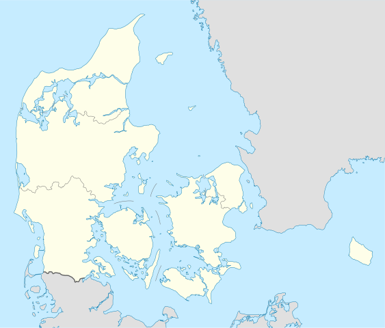
Deutsch: Positionskarte von Dänemark
Quadratische Plattkarte, N-S-Streckung 180 %. Geographische Begrenzung der Karte:
English: Location map of Denmark
Equirectangular projection, N/S stretching 180 %. Geographic limits of the map:
|
||
| Data | |||
| Origine | Obra proprie, using United States National Imagery and Mapping Agency data | ||
| Autor | NordNordWest | ||
| Altere versiones | Derivative works of this file: Regenbogen location map.svg | ||
| SVG genesis |
|

Licentia
Io, titular del derecto de autor sur iste obra, declara de publicar lo sub le sequente licentias:

|
Le permission es concedite de copiar, distribuer e/o modificar iste documento sub le conditiones del Licentia GNU pro Documentation Libere, Version 1.2 o omne version plus recente publicate per le Fundation pro Software Libere; sin Sectiones Invariabile, sin Textos de Copertura Frontal e sin Textos de Copertura Posterior. Un copia del licentia es includite in le section titulate Licentia GNU pro Documentation Libere. |
Iste file es disponibile sub le licentia Creative Commons Attribution-CompartiSimile 3.0 Non-localisate.
- Tu es libere:
- de condivider – de copiar, distribuer e transmitter le obra
- de remixar – de adaptar le obra
- Sub le sequente conditiones:
- attribution – Tu debe dar information appropriate sur le autor, fornir un ligamine al licentia, e indicar si modificationes ha essite apportate. Tu pote facer lo de qualcunque maniera rationabile, ma non in alcun modo que suggere que le licentiator approba te o tu uso del obra.
- condivider equalmente – Si tu altera, transforma o disveloppa le material, tu debe distribuer tu contributiones sub un licentia identic o compatibile con le original.
Tu pote seliger le licentia de tu preferentia.
Historia del file
Clicca sur un data/hora pro vider le file como appareva a ille tempore.
| Data/Hora | Miniatura | Dimensiones | Usator | Commento | |
|---|---|---|---|---|---|
| actual | 15:30, 25 novembre 2022 | | 1 836 × 1 566 (435 KB) | GrandEscogriffe | more correct north-south stretching |
| 18:57, 25 augusto 2008 |  | 1 836 × 1 479 (441 KB) | NordNordWest | size correction | |
| 08:53, 2 julio 2008 |  | 612 × 493 (434 KB) | NordNordWest | {{Information |Description= {{de|Positionskarte von Dänemark}} Quadratische Plattkarte, N-S-Streckung 170 %. Geographische Begrenzung der Karte: * N: 57.9° N * S: 54.3° N * W: 8.8° O * O: 15.4° O {{en|Location map of [[:en:Denmark|D |
Uso de iste file
Il non ha paginas que usa iste file.
Uso global de iste file
Le altere wikis sequente usa iste imagine:
- Uso in af.wikipedia.org
- Uso in ar.wikipedia.org
- Uso in az.wikipedia.org
- Uso in ba.wikipedia.org
- Uso in be-tarask.wikipedia.org
- Капэнгаген
- Гэрнінг
- Шаблён:Лякалізацыйная мапа Даніі
- Одэнсэ
- Лянгелян
- Фальстэр
- Стрэймай
- Сувурай
- Фуглёй
- Эстурой
- Сандой
- Кальсой
- Скувой
- Вагар
- Наўльсой
- Люйтля-Дуймун
- Віёй
- Свуйной
- Скаген
- Оргус
- Чэмпіянат Эўропы па гандболе сярод мужчынаў 2014 году
- Брэнбю
- Ольбарг
- Ранэрс
- Эсб’ерг
- Кольдынг
- Горсэнс
- Вайле
- Роскіле
- Гэльсынгёр
- Сылькебарг
- Нэствэд
- Фрэдэрысія
Vider altere usos global de iste file.