
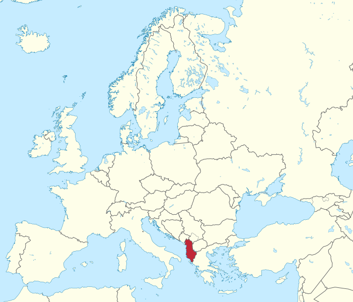
File:Albania in Europe (-rivers -mini map).svg

Dimension de iste previsualisation PNG de iste file SVG: 701 × 599 pixels. Altere resolutiones: 281 × 240 pixels | 561 × 480 pixels | 898 × 768 pixels | 1 198 × 1 024 pixels | 2 395 × 2 048 pixels | 1 401 × 1 198 pixels.
File original (File SVG, dimensiones nominal: 1 401 × 1 198 pixels, grandor del file: 954 KB)
Summario
.svg)
.svg)
.svg)
.svg)
.svg)
.svg)
.svg)

-en.svg)

.svg)
.svg)
.svg)

_(US48).svg)
_(small_islands_magnified)_(-mini_map_-rivers).svg)
.svg)
_(extra_close)_(US48).svg)
.svg)
_(zoom).svg)

.svg)


_(UNMIK).svg)
.svg)
_(disputed_hatched).svg)
_(claimed_and_disputed_hatched).svg)
.svg)
.svg)
_(%2Ball_claims_hatched).svg)

.svg)
_(shade).svg)
_(shade)_(special_marker).svg)
_(-mini_map).svg)
_(-mini_map).svg)
_(-mini_map).svg)


.svg)

.svg)
.svg)
Licentia
Io, titular del derecto de autor sur iste obra, declara de publicar lo sub le sequente licentia:
Iste file es disponibile sub le licentia Creative Commons Attribution-CompartiSimile 3.0 Non-localisate.
- Tu es libere:
- de condivider – de copiar, distribuer e transmitter le obra
- de remixar – de adaptar le obra
- Sub le sequente conditiones:
- attribution – Tu debe dar information appropriate sur le autor, fornir un ligamine al licentia, e indicar si modificationes ha essite apportate. Tu pote facer lo de qualcunque maniera rationabile, ma non in alcun modo que suggere que le licentiator approba te o tu uso del obra.
- condivider equalmente – Si tu altera, transforma o disveloppa le material, tu debe distribuer tu contributiones sub un licentia identic o compatibile con le original.

|
I'd greatly appreciate, that you attribute this media file to Wikimedia Commons, if used outside Wikipedia or Commons. For use in publications such as books, newspapers, blogs, websites, please insert here the following line:
|
.svg&action=edit&redlink=1)
Historia del file
Clicca sur un data/hora pro vider le file como appareva a ille tempore.
| Data/Hora | Miniatura | Dimensiones | Usator | Commento | |
|---|---|---|---|---|---|
| actual | 03:17, 12 julio 2016 | | 1 401 × 1 198 (954 KB) | Stasyan117 | Dotted line between Ukraine and Crimea |
| 17:56, 17 martio 2011 |  | 1 401 × 1 198 (1,38 MB) | TUBS |
Uso de iste file
Il non ha paginas que usa iste file.
Uso global de iste file
Le altere wikis sequente usa iste imagine:
- Uso in en.wikibooks.org
- Uso in he.wikipedia.org
- Uso in km.wikipedia.org
- Uso in shn.wikibooks.org
- Uso in uz.wikipedia.org
.svg)