
File:Cape Verde (orthographic projection).svg

Dimension de iste previsualisation PNG de iste file SVG: 553 × 553 pixels. Altere resolutiones: 240 × 240 pixels | 480 × 480 pixels | 768 × 768 pixels | 1 024 × 1 024 pixels | 2 048 × 2 048 pixels.
File original (File SVG, dimensiones nominal: 553 × 553 pixels, grandor del file: 289 KB)
Summario
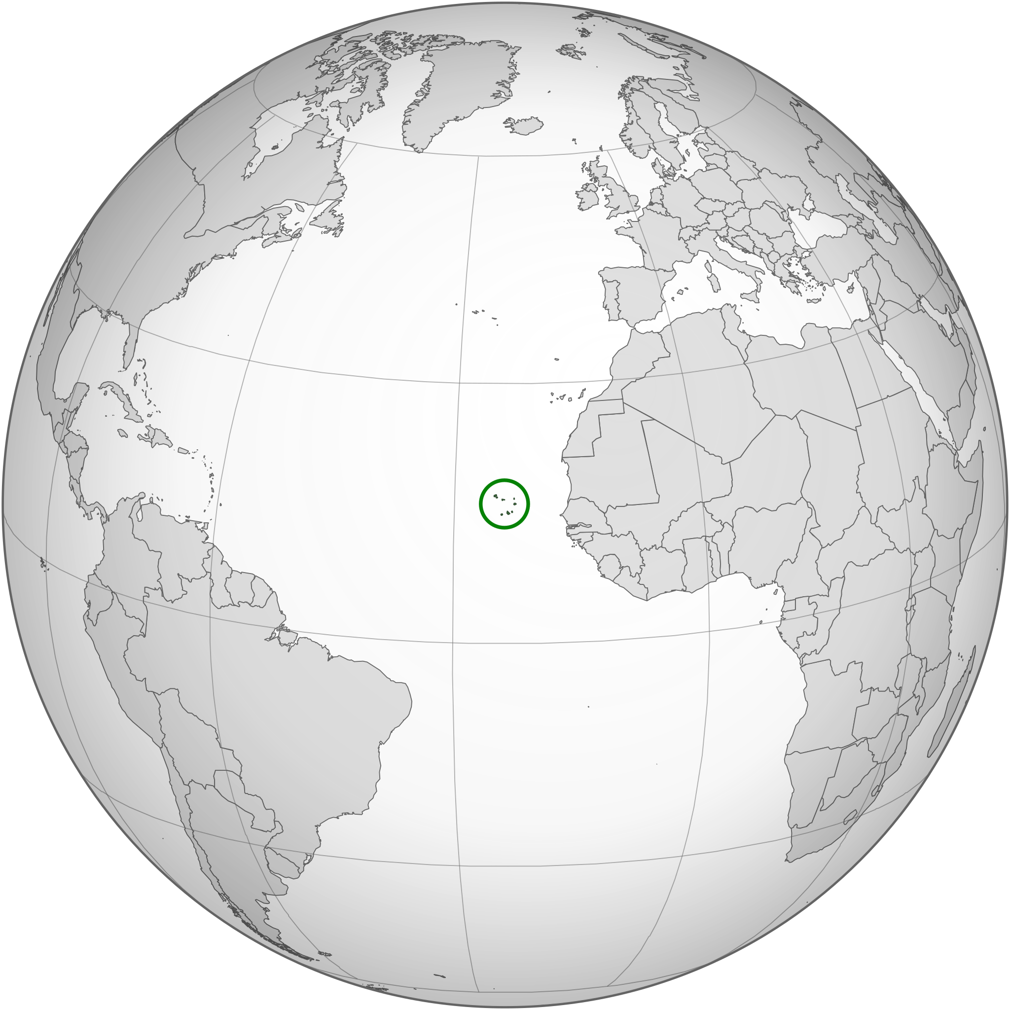
| Description | Location of Cape Verde in the globe |
| Data | |
| Origine | Own work based on: None (orthographic projection).svg and SVG-Koort Kap Verde.svg. |
| Autor | Original: Waldyrious, New version: Flappiefh |
| Altere versiones |
.svg) |
| SVG genesis |
.svg)
.svg)
.svg)
.svg)
.svg)
.svg)
.svg)
.svg)
.svg)
.svg)
.svg)
.svg)
.svg)
.svg)
.svg)
.svg)
.svg)
.svg)
.svg)
.svg)
.svg)
.svg)
.svg)
.svg)
.svg)
.svg)
.svg)
.svg)
.svg)
.svg)
.svg)
.svg)
.svg)
.svg)
.svg)
.svg)
.svg)
.svg)
.svg)
.svg)
.svg)
.svg)
.svg)
.svg)
.svg)
.svg)
.svg)
.svg)
.svg)
.svg)
.svg)
.svg)
.svg)
.svg)
.svg)
.svg)
.svg)
.svg)
.svg)
.svg)
.svg)
.svg)
.svg)
.svg)
.svg)
.svg)
.svg)
.svg)
.svg)
.svg)
.svg)
.svg)
.svg)

.svg)

.svg)

.svg)
.svg)
.svg)
.svg)
.svg)
.svg)
.svg)


.svg)
.svg)
.svg)
.svg)
.svg)
.svg)
.svg)

.svg)
.svg)
.svg)
.svg)
.svg)
.svg)
.svg)
.svg)
.svg)
.svg)

.svg)
.svg)
.svg)
.svg)
.svg)
.svg)
.svg)
_without_national_boundaries.svg)
.svg)
.svg)
.svg)
.svg)
.svg)
.svg)

.svg)
.svg)
.png)
.svg)
.svg)
.svg)
.svg)

.svg)
.svg)
.svg)
.svg)
.svg)
.svg)
.svg)
.svg)
.svg)
.svg)
.svg)

.svg)
.svg)
.svg)
.svg)
.svg)
.svg)
.svg)
.svg)
.svg)

.svg)
.svg)

.svg)
.svg)
.svg)
.svg)
.svg)
.svg)
.svg)
.svg)
.svg)
.svg)
.svg)
.svg)
.svg)
.svg)
.svg)
.svg)
.svg)
.svg)
.svg)
.svg)
.svg)
.svg)
.svg)
.svg)
.svg)
.svg)
.svg)
_-_Crimea_disputed.svg)
.svg)
.svg)
.svg)
.svg)
.svg)
.svg)
.svg)
.svg)
.svg)
.svg)
.svg)
_political.svg)
.svg)
.svg)
.svg)
.svg)
_-_Crimea_disputed_-_no_borders.svg)
.svg)
.svg)
.svg)
.svg)
.svg)
.svg)
.svg)
.svg)
.svg)
.svg)
.svg)

.svg)
.svg)
.svg)

.png)
.svg)
.svg)
.svg)
.svg)
.svg)
.svg)
.svg)
.svg)
.svg)
.svg)
.svg)
.svg)
.svg)
.svg)
.svg)
.svg)
.svg)
.svg)
.svg)
.svg)
.svg)
.svg)
.svg)
.svg)
.svg)
.svg)
.svg)
.svg)
.svg)
.svg)
.svg)
.svg)
.svg)
.svg)
.png)
.svg)
.svg)
.svg)
_(orthographic_projection).png)
.svg)
.svg)
Licentia
Io, titular del derecto de autor sur iste obra, declara de publicar lo sub le sequente licentia:
Iste file es disponibile sub le licentia Creative Commons Attribution-CompartiSimile 3.0 Non-localisate.
- Tu es libere:
- de condivider – de copiar, distribuer e transmitter le obra
- de remixar – de adaptar le obra
- Sub le sequente conditiones:
- attribution – Tu debe dar information appropriate sur le autor, fornir un ligamine al licentia, e indicar si modificationes ha essite apportate. Tu pote facer lo de qualcunque maniera rationabile, ma non in alcun modo que suggere que le licentiator approba te o tu uso del obra.
- condivider equalmente – Si tu altera, transforma o disveloppa le material, tu debe distribuer tu contributiones sub un licentia identic o compatibile con le original.
Historia del file
Clicca sur un data/hora pro vider le file como appareva a ille tempore.
| Data/Hora | Miniatura | Dimensiones | Usator | Commento | |
|---|---|---|---|---|---|
| actual | 23:44, 16 martio 2015 | | 553 × 553 (289 KB) | Flappiefh | Removed Somaliland and Kosovo. Separated Western Sahara and Morroco. |
| 17:32, 30 julio 2013 |  | 553 × 553 (297 KB) | Flappiefh | Removed the unneeded green circle. | |
| 17:30, 30 julio 2013 |  | 553 × 553 (298 KB) | Flappiefh | South Sudan is now represented. The map has been redone thanks to gringer's Perlshaper tool. | |
| 06:53, 7 septembre 2010 |  | 650 × 650 (349 KB) | Waldyrious | Reverted to version as of 22:57, 18 June 2010. Proposed new version will be uploaded to separate filename | |
| 19:24, 6 septembre 2010 |  | 550 × 550 (664 KB) | Eddo | possible new version? | |
| 22:57, 18 junio 2010 |  | 650 × 650 (349 KB) | Waldyrious | {{Information |Description=Location of Cape Verde in the globe |Source={{own}} |Date=2010-18-06 |Author=Waldir |Permission= |other_versions= }} |
Uso de iste file
Il non ha paginas que usa iste file.
Uso global de iste file
Le altere wikis sequente usa iste imagine:
- Uso in avk.wikipedia.org
- Uso in bg.wikipedia.org
- Uso in bi.wikipedia.org
- Uso in chr.wikipedia.org
- Uso in ckb.wikipedia.org
- Uso in el.wikipedia.org
- Uso in en.wikipedia.org
- Uso in en.wikinews.org
- Uso in es.wikipedia.org
- Uso in fa.wikipedia.org
- Uso in ff.wikipedia.org
- Uso in fr.wikipedia.org
- Uso in gcr.wikipedia.org
- Uso in he.wikipedia.org
- Uso in hu.wikipedia.org
- Uso in id.wikipedia.org
- Uso in ilo.wikipedia.org
- Uso in incubator.wikimedia.org
- Uso in is.wikipedia.org
- Uso in ja.wikipedia.org
- Uso in ka.wikipedia.org
- Uso in ky.wikipedia.org
- Uso in lt.wikipedia.org
- Uso in mg.wikipedia.org
- Uso in mi.wikipedia.org
- Uso in mn.wikipedia.org
- Uso in mt.wikipedia.org
- Uso in my.wikipedia.org
- Uso in ne.wikipedia.org
- Uso in no.wikipedia.org
- Uso in or.wikipedia.org
- Uso in pa.wikipedia.org
- Uso in pl.wikivoyage.org
- Uso in pl.wiktionary.org
Vider altere usos global de iste file.
.svg)
.svg)